T-45A UJPT & E2-C2 INav-01
Review of FLIP and Publications
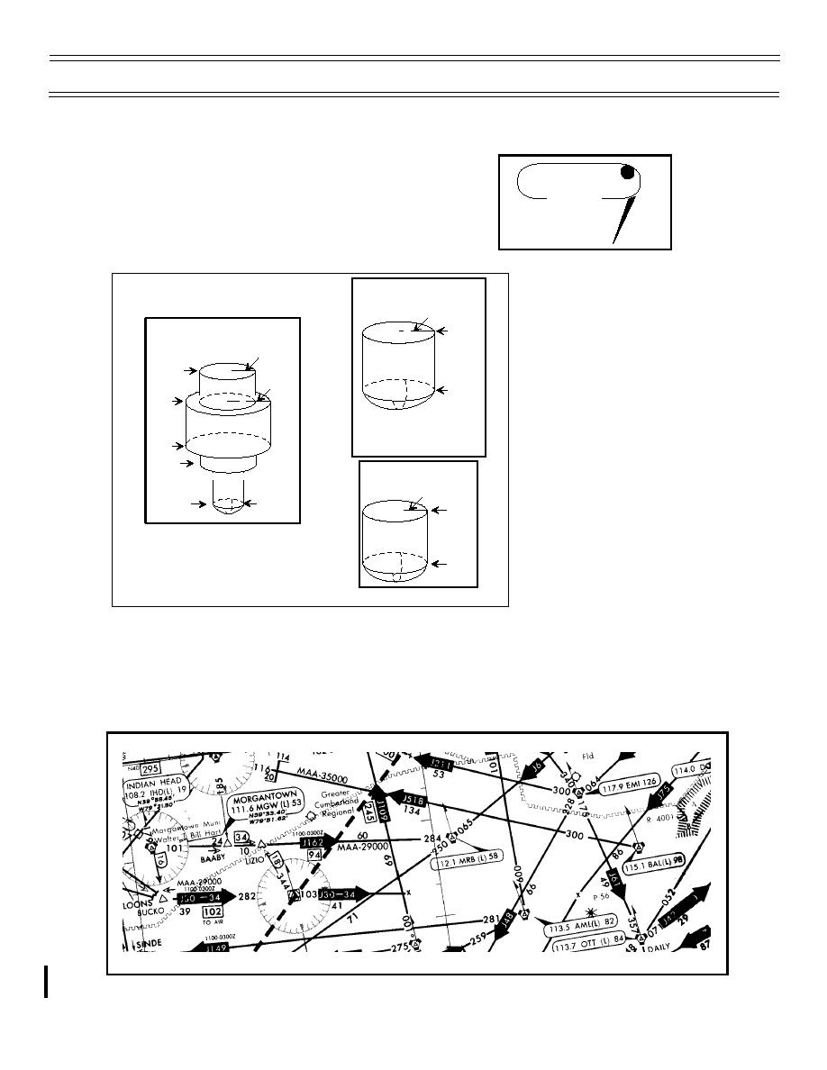
And those that provide Transcribed Weather Broadcasts
(TWEB) are indicated by a “T” in a black circle in the upper
WILSON CREEK T
right corner.
116.3 ILC 110
N38 15.01'
W114 23.66'
STANDARD LOW
Most air navigation radio aids
ALTITUDE SERVICE VOLUME
which provide positive course
40 nmi
guidance have a designated
18,000 ft.
STANDARD HIGH
ALTITUDE SERVICE VOLUME
standard service volume (SSV).
100 nmi
The SSV defines the reception
60,000 ft.
limits of unrestricted NAVAIDs
130 nmi
1,000 ft.
which are usable for random/
45,000 ft.
unpublished route navigation.
Standard service volume
NOTE: All elevators shown are with respect
to the station's site elevation (AGL).
Coverage is not available in a cone of
limitations do not apply to
18,000 ft.
airspace directly above the facility.
published IFR routes or
14,500 ft.
STANDARD TERMINAL
procedures.
SERVICE VOLUME
25 nmi
40 nmi
1,000 ft.
12,000 ft.
1,000 ft.
Preferred single-direction jet routes are established for an orderly and expeditious flow of traffic during peak
traffic periods and/or in high density areas of the country. Those jet routes should be filed only for the
indicated direction of flight during the effective hours indicated adjacent to the jet route identifier.
(6-99) Original
Page 1-34


 Previous Page
