Operational Navigation
Systems Navigation
Waypoint data entry--manually changing waypoints
From the HSI, ADI, or MENU display, select DATA. Then select WYPT if required. (Figure 7).
Waypoint Data Entry
Selection Options
LAT
LONG
ELEV
MVAR
Selected DATA Waypoint
R0
N/
Waypoint's ICAO identifier
GS
Waypoint Offset Data
WYPT
3-CHEVY
Selected DATA Waypoint
Entry Selection Options
B0
Data Block
R/
LAT
N
32 35 01
GS
LONG W
88 44 39
3
ELEV
350
Selected Data Waypoint
E
MVAR E 01
L0
E/
O/S
RNG 18.5 NM
Offset Data Block
VS
O/S
BRG 240.5
O/S
ELEV
350
H
S
I
A
SD
D
EE
Aircraft Data Page
I
QP
Access Option
ACFT
MENU
GPS
Figure 7: WAYPOINT DISPLAY PAGE
Manual waypoint data entry starts by selecting the desired waypoint number with the increment/
decrement arrows on the right of the display. When the desired waypoint is displayed, all param-
eters for that waypoint may then be changed by selecting data options at the top of the display: LAT
(latitude), LONG (longitude), ELEV (elevation), or MVAR (magnetic variation).
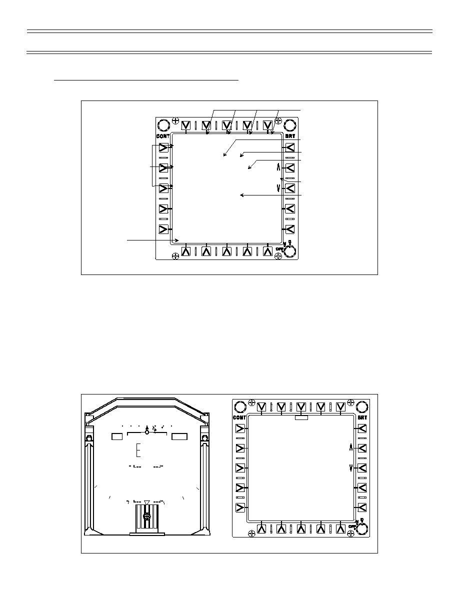
Selecting a data option enables the scratchpad on the MFD and HUD; other data options are blanked
(Figure 8). New data is entered with the push buttons on the data entry panel (DEP). When the ENT
push button on the DEP is pressed, the scratchpad is removed, waypoint data is updated with the
new value, the option is unboxed, and the other blanked options are redisplayed. (Note: waypoint
elevation is only used for CCIP bombing computations when using barometric altitude ranging vice
radar altitude ranging; not for waypoint steering or time-to-go.)
LONG
01
00
02
0
50
270
WYPT
3-CHEVY
10 R
LAT
N
34 21 08
LONG W
88 44 39
4
ELEV
350
MVAR E 01
5
5
O/S
RNG 18.5 NM
0.7 TC N
O/S
BRG 240.5
O/S
ELEV
350
H
S
I
W087 . 22 . 31
10
10
W087 . 22 . 31
A
D
I
ACFT
MENU
GPS
Figure 8: WAYPOINT DATA ENTRY
Page 22
(4-03) Original


 Previous Page
