 |
|||
|
Page Title:
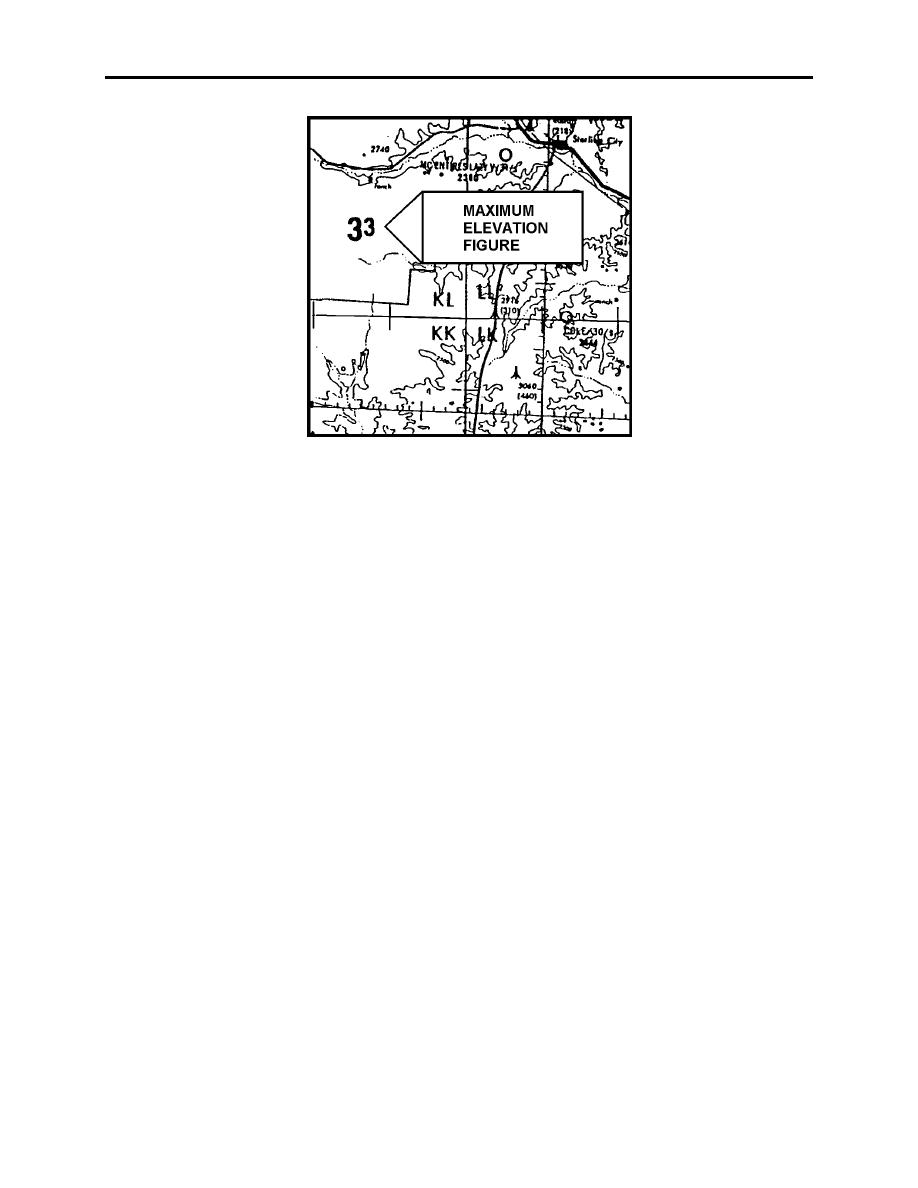
Figure C-4 Maximum Elevation Figure |
|
||
| ||||||||||
|
|  APPENDIX C
LOW-LEVEL AND TACTICAL FORMATION
Figure C-4 Maximum Elevation Figure
8.
Hydrography. This category includes portrayal of oceans, coastlines, lakes, rivers,
streams, swamps, reefs, and other hydrographic features. Open water is either left blank or is
portrayed by some type of tinting or shading.
9.
Vegetation. Vegetation is not shown on most small-scale charts (JNC). Forests and
wooded areas in certain parts of the world are portrayed on some medium-scale charts. Park
areas, orchards, hedgerows, and vineyards are shown on some large-scale charts. Portrayal is by
solid tint, or by various shading patterns.
10. Aeronautical Information. Notice that the aeronautical information is similar on ONCs,
TPCs, and JOGs. All major aerodromes show runway diagrams and a 6000- or 8000-foot
diameter circle, depending on the chart. The center of the circle represents the actual position of
the field. A star near or in the circle shows the position of the rotating beacon. If runways are
not shown, the length of the longest runway will follow the name of the aerodrome. This applies
to major aerodromes only.
Radio aids to navigation are depicted the same on all charts. We are interested primarily in the
first four shown on the legend of the chart: VOR, VORTAC, TACAN, and VOR with DME.
Special use airspace is clearly marked. The list of special use airspace is located in FLIP. The
numbers indicate internationally recognized numerical identification. All special use airspace is
portrayed on the ONC except those activated only by NOT.
If you look at the interchart relationship box, you will find which chart you will need if you run
off the edge of the chart you currently have. Near the bottom of the chart legend, you will also
find a blue-lined box labeled CAUTION. This box indicates how current your chart is and
where to find information not shown on the chart.
C-6
NAVIGATIONAL CHARTS
|
|
Privacy Statement - Press Release - Copyright Information. - Contact Us |
