 |
|||
|
|
|||
|
|
|||
| ||||||||||
|
|  CHAPTER FIVE
AVIATION WEATHER
at that level is turbulent. These clouds may occur singularly or in layers at heights usually above
20,000 feet. The rotor cloud forms at a lower level and is generally found at about the same
height as the mountain ridge. The cap cloud usually obscures both sides of the mountain peak.
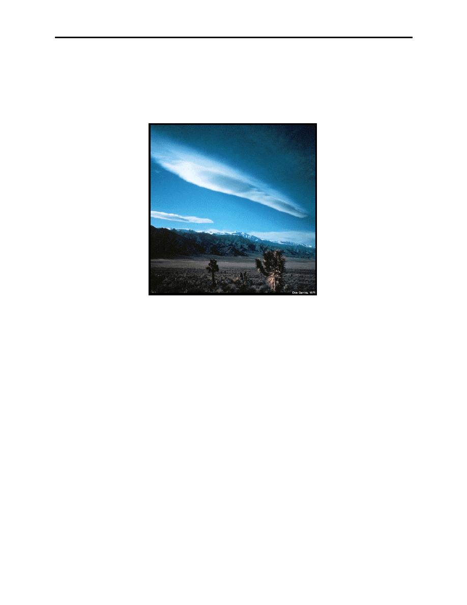
The lenticular clouds (Figure 5-5), like the rotor and cap clouds, are stationary in position, even
though the wind flows through them.
Figure 5-5 Lenticular Clouds
The pilot is concerned, for the most part, with the first wave because of its more intense activity
and proximity to the high mountainous terrain. Extreme turbulence is usually found at low levels
on the leeward side of the mountain in or near the rotor and cap clouds when the winds are
50 knots or greater at the mountaintop. With these wind conditions, severe turbulence can
frequently be found to exist from the surface to the tropopause and 150 miles downwind.
Moderate turbulence can be experienced often as far as 300 miles downwind under those same
conditions. When the winds are less than 50 knots at mountain peak level, a lesser degree of
turbulence may be experienced.
Mountain wave turbulence is dangerous in the vicinity of the rotor clouds and to the leeward side
of the mountain peaks. The cap cloud must always be avoided because of the turbulence and the
concealed mountain peaks.
Apply the following techniques when mountain wave turbulence has been forecasted:
1.
Avoid the turbulence, if possible, by flying around the areas where wave conditions exist.
If this is not feasible, fly at a level at least 50% higher than the height of the mountain range.
This procedure will not keep the aircraft out of turbulence, but provides a margin of safety if a
strong downdraft is encountered.
5-8
Weather Hazards of Turbulence, Icing, Ceilings, Visibility, and Ash Clouds
|
|
Privacy Statement - Press Release - Copyright Information. - Contact Us |