T-45A UJPT & E2-C2 INav-10
Flight Planning (En Route)
Should your actual departure time be delayed one hour or more beyond the filed proposed departure time,
advise Base Operations or the tie-in FSS serving the departure, stopover, or enroute delay airport of your
updated proposed departure time. You must also update your weather brief (DD-175-1). If this delay
occurs when departing a nonmilitary base, ensure that the actual departure time is passed to the tie-in
FSS.
ITEM 8 - Enter the initial cruising ALTITUDE/flight level in hundreds of feet. Use data from the weather
briefing and enroute chart to determine this figure.
EXAMPLE: Enter 6,000 ft as 60; 15,000 ft as 150; and FL300 as 300. (Do not enter the letters “FL.”)
If a subsequent enroute altitude/flight level is planned, enter the requested altitude/flight level and the
location of the change in the REMARKS block.
If an altitude block is desired, enter the lower altitude/flight level of the requested block, the letter “B,” and
then the higher altitude (top of the block).
EXAMPLE: 240B270
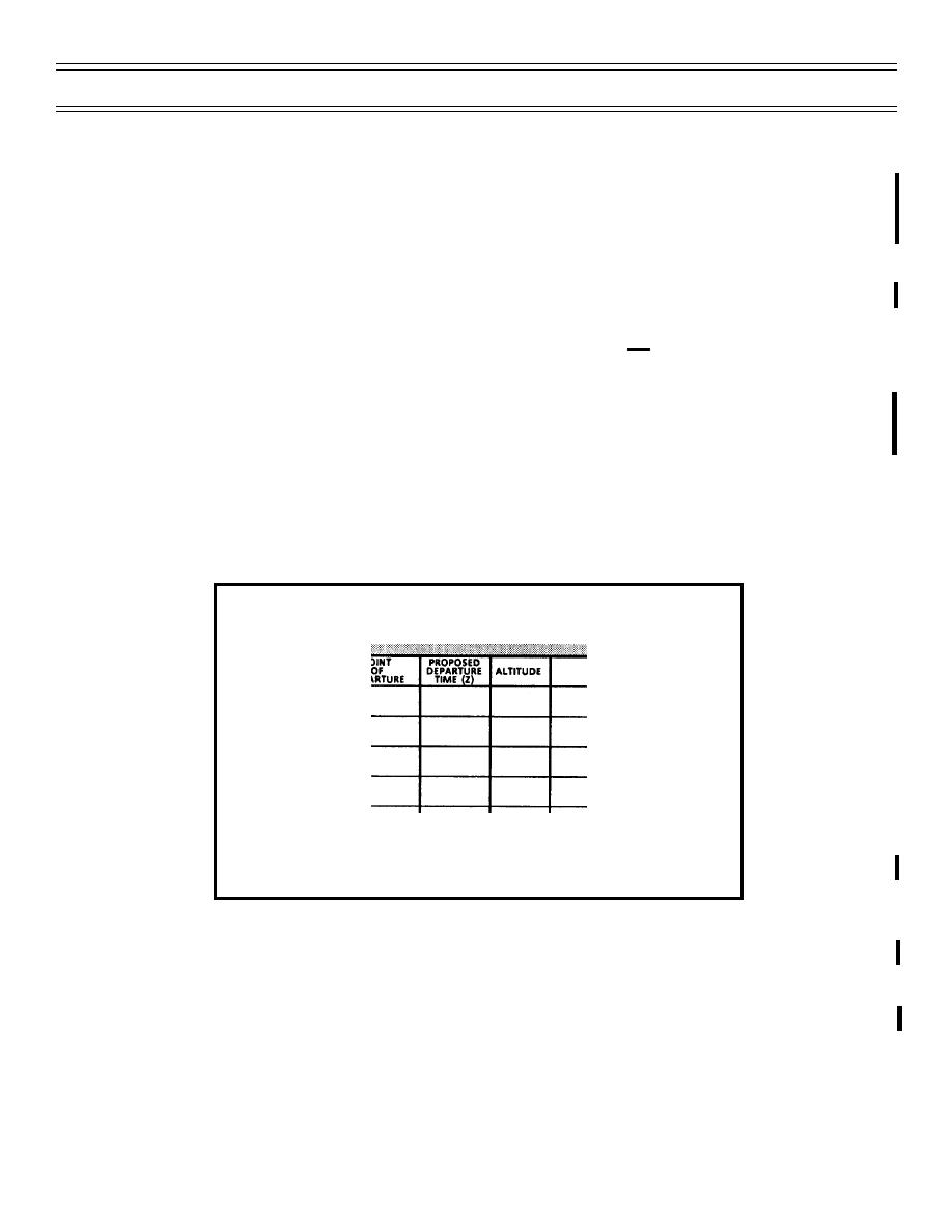
Figure 6 presents examples of completed proposed departure time and altitude blocks.
1355
250
Figure 6: DD-175 SECTION II -
PROPOSED DEPARTURE TIME AND ALTITUDE
ITEM 9 - Enter enough information to indicate the proposed ROUTE OF FLIGHT clearly. You will find this
information in the ROUTE/TO block of your jet log.
If you are using a standard instrument departure (SID), enter the coded identifier or name and transition fix
for the SID. Place a “dot” between the SID name and the transition.
EXAMPLE: HOBOZ1•SAT
(6-99) Original
Page 10-7


 Previous Page
