Operational Navigation Flight Training Instruction
Flying the Route
DATE ON THE CHART
How much time has there been for structures to be built; and how much likelihood is there that something
was erected? If you have a 1980 chart of an oil producing area, you may expect radical changes owing to
the boom of the 1980's. On the other hand, if the chart is dated within the last year or two, minimal change
probably occurred. In any case, get the latest edition of the chart! Don't use old charts!
CHART UPDATE MANUAL (CHUM)
Use the latest CHUM or supplement to identify the current edition of the chart you need. It will give you
any additions or deletions concerning obstructions on the current edition of the chart. Here, too, use a
little imagination. What will any additions look like? What change will be observable after a tower was
removed or added?
PILOT POINT OF VIEW
Altitude, airspeed, light conditions, and obstructions must be considered when selecting navigation
features. At high altitude, visibility may be as great as 100 miles with ample checkpoints, but 100 miles
ahead, only a large city might serve as a landmark. From 500 ft AGL, you have limited radius of vision.
Compare that with the extended field of view you have at 6,000 ft AGL. Look for large features and
consider the possibility of an undercast; in conjunction with time and course, check directly under you as
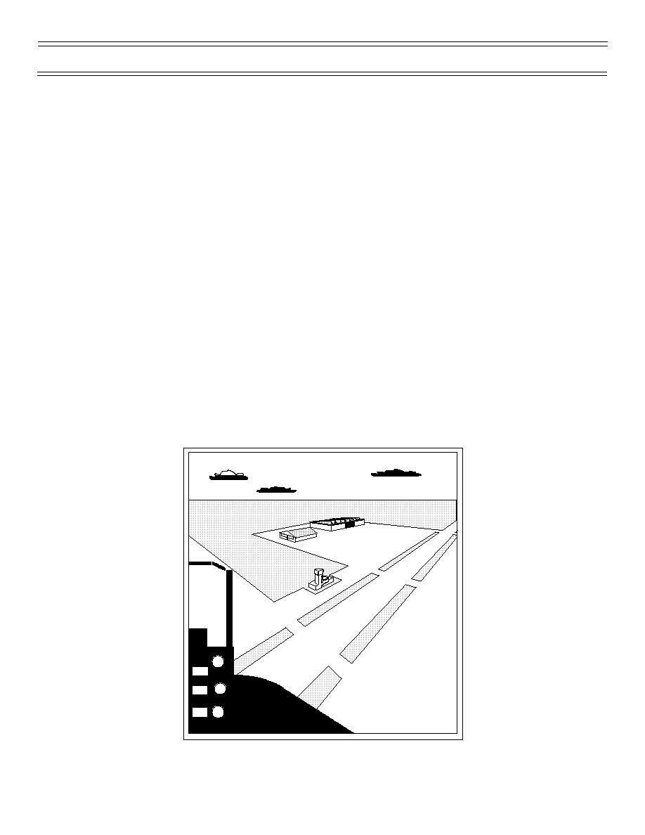
well as ahead. At low altitude, you must consider the oblique perspective you will have. What does your
landmark look like from 500 ft AGL? You will see more of the roof of a building than the walls, but you will
see walls. Terrain and type of landmark may reduce the distance from which a checkpoint may be seen.
Again, you need imagination to transfer the plan view of the chart to the oblique perspective you will have
from your cockpit (Figure 3). Experience is a great teacher in this respect.
Figure 3: VIEW FROM 500 AGL AND 1/2 MILE
(7-99) Original
Page 12


 Previous Page
