 |
|||
|
|
|||
|
|
|||
| ||||||||||
|
|  T-6A INSTRUMENT NAVIGATION
CHAPTER FOUR
090 R
Desired fix
090 R / 10 NM
0
030
270
090
Desired
fix
Present
fix
Outer edge of
compass card
represents 20 NM
180
Present fix
180 R / 20 NM
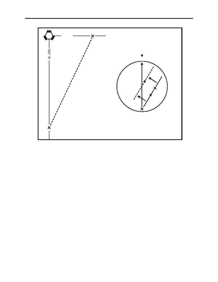
Figure 4-8 Point-to-Point
PROCEDURES
1. Turn in the general direction of the point. (This may be obtained from your jet card or
through situational awareness. Anything within 45 of the correct course is close enough for this
step.) This will get you headed in the right direction.
2.
Tune the proper station.
3. Identify the station by pulling out the NAV mixer knob on the Audio Control Panel, turning
up the volume, and comparing against the Morse Code found on the enroute chart or approach
plate.
NOTE
A TACAN station identification occurs approximately every 35
seconds and a VOR Station identification is continuous. If you do
not know Morse Code, then ensure you verify the signal against a
chart depicting the signal (Enroute Low/High Altitude Charts or
Low/High Altitude Approach Charts).
INSTRUMENT NAVIGATION
4-25
|
|
Privacy Statement - Press Release - Copyright Information. - Contact Us |
