 |
|||
|
|
|||
|
|
|||
| ||||||||||
|
|  CHAPTER THREE
T-6A NAVIGATION
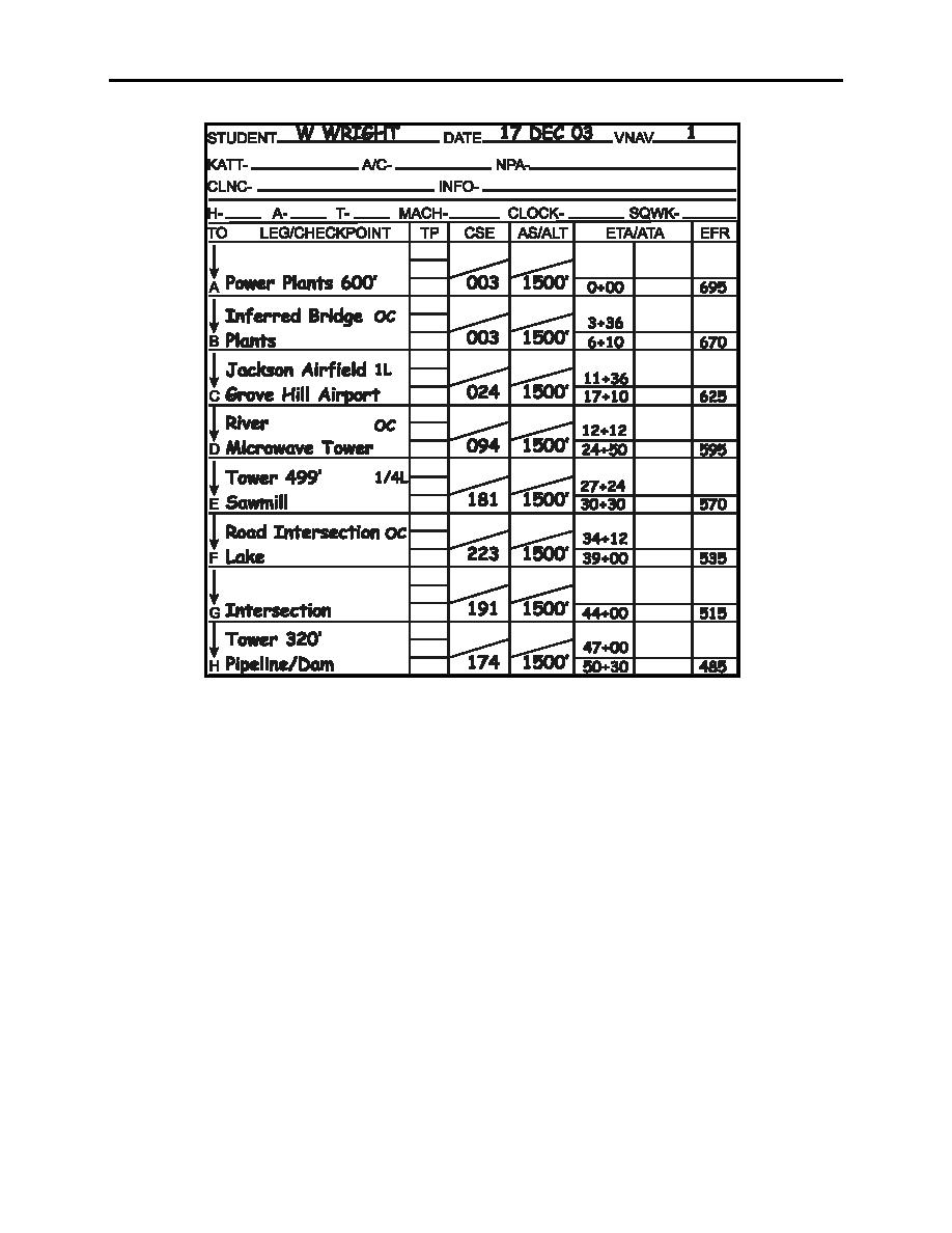
Figure 3-5 Jet Card
306.
SUMMARY
As the name implies, visual navigation means navigation through the use of visual checkpoints.
Aircraft type, planned altitude, mission pacing, and terrain are just some of the factors that can
affect the quality and choice of visual checkpoints. Due to the task saturation of the low altitude
environment, it is important to plan turnpoints and checkpoints in advance. Annotate
intermediate checkpoints during mission planning to ensure proper pacing.
In visual navigation, the use of a CLOCK, CHART, GROUND scan is critical to both find points
and prevent the misidentification of points. Additionally, use of other terrain and cultural
features (roads, ridges, rivers) aids in acquisition and identification of checkpoints.
Finally, the last step in planning your fix sequence is the completion of the pilot card. This card
should match your chart data and be complete prior to the brief.
In the next chapter, fuel computations and DD 175s are the focus in completing our Navigation
mission planning.
3-8 VISUAL FIXING
|
|
Privacy Statement - Press Release - Copyright Information. - Contact Us |