 |
|||
|
|
|||
|
|
|||
| ||||||||||
|
|  T-6A NAVIGATION
CHAPTER THREE
5.
Remember, a bridge is where "a river and road meet," the river and road are likely to be
visible long before the bridge.
6.
Underground pipelines may look similar to dirt roads, but generally they are unnaturally
straight and have few turns.
7.
Lakes in low-lying areas (marsh/swamp) can change shape with the tide or with heavy rains
or drought.
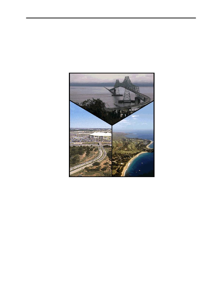
Figure 3-3 Points
The majority of the routes flown in the T-6A will be about 1500 ft AGL, this equates to
approximately 1.5 NM for one wing-tip distance. This distance increases proportionately with
altitude (Figure 3-4.)
Perhaps the most common reason students fail to see an intermediate checkpoint is actually quite
simple: They are not looking in the right place at the right time! Prevent this problem with an
effective CLOCK, CHART, GROUND scan. This scan runs as follows:
Clock
Check current elapsed time, add approximately 1/2 to two full minutes. This method will keep
you from finding features on the ground that are not on the chart. It will also prevent you from
looking for features you already have flown past. By limiting what we are looking for, we are
VISUAL FIXING 3-5
|
|
Privacy Statement - Press Release - Copyright Information. - Contact Us |
