 |
|||
|
|
|||
|
|
|||
| ||||||||||
|
|  T-6A NAVIGATION
CHAPTER TWO
VR-
T/O to A
A to B
B to C
C to D
D to E
E to F
TC
065
105
MC
063
104
DIST
26
25
ETE
8+40
8+20
ELAPSED TIME
8+40
17+00
ALTITUDE
LEG FUEL
EFR
MCF
BINGO DISTANCE
BINGO FUEL
BINGO MC
BINGO ALTITUDE
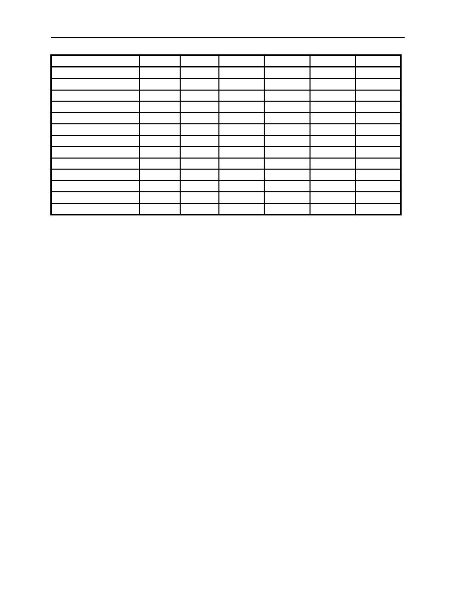
Figure 2-4 Worksheet
206.
COMPUTE TIMES AND RECORD ON WORKSHEET
Using the distance measured, compute the time required to fly that leg. Plan all T-6A VNAV
routing at 180 knots groundspeed, except F5101 and F5102 (Formation) which is flown at 210
knots groundspeed. The time computations are simple: 1 minute at 180 KIAS equals 3 miles,
therefore, 26NM at 180 knots = 8+40. Figure 2-4 shows this data recorded in the Estimated
Time Enroute (ETE) block. In the "B to C" column, note the manner in which Elapsed Time is
cumulatively added. Note since all distances are rounded to the nearest 1/2 NM, all times should
be divisible by seconds. When complete, attach this sheet to the back of the completed VNAV
chart.
207.
DETERMINE ALTITUDE FOR EACH LEG
This is an easy task for T-6A VNAV chart preparation. Refer to the most current VNAV route
listing data (T-6A VNAV Stereo Route Handout) and record the altitudes directly from the route
description. The stereo routing defines the altitudes (MSL) for each leg of the VNAV sortie.
Record this information on the worksheet. For T-1/T-39 flights, this information will be
computed using MEFs. For all TRAWING 6 aircraft, the minimum altitude that may be flown is
500 feet AGL, as stated in OPNAVINST 3710.7, Section 4.
208.
DRAW TIME AND LABEL TIME TICKS
Each time tick represents one minute of flight along the track line. For T-6A mission planning,
this means 3 NM between time ticks.
Time ticks extend 3 NM on either side of track, with each third minute extending 5 NM either
side of track. Figure 2-5 illustrates how these time ticks should appear on your chart.
LOW-LEVEL CHART PREPARATION
2-5
|
|
Privacy Statement - Press Release - Copyright Information. - Contact Us |