 |
|||
|
|
|||
|
|
|||
| ||||||||||
|
|  CHAPTER ONE
T-6A NAVIGATION
269
(236)
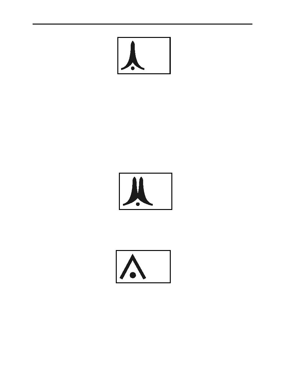
Figure 1-18 Single Tower
In Figure 1-18, the upper number is the altitude above mean sea level (MSL) at the top of the
tower, while the lower one in parenthesis is the tower height above the ground. The elevation of
the ground below the tower can be determined by subtracting the lower number from the upper.
In this case ground elevation is 33 feet MSL.
Multiple obstructions near each other are depicted in Figure 1-19.
In Figure 1-19, the numbers indicate the same information as with single obstructions. The
highest of the multiple towers height is 1050 feet MSL and the towers are 625 feet tall, thus the
ground elevation is 425 feet MSL. Note the tower symbols are NOT to scale. If they were, the
tower would be over a mile high.
1050
(625)
Figure 1-19 Multiple Towers
Often an obstruction will have some landmark significance, and if so, a pictorial symbol will be
used along with the same MSL and AGL obstruction heights (Figure 1-20).
1050
(625)
Figure 1-20 Factory with Tall Smokestack
Standard symbols are used to depict radio aids to navigation. Refer to the chart legends (Figures
1-6 and 1-7) and be completely familiar with the symbols for VHF Omnirange (VOR),
VORTACAN, TACAN, VOR with DME and other facilities such as automatic direction finder
(ADF) and non-directional beacon (NDB).
1-22
CHART LEGEND REVIEW
|
|
Privacy Statement - Press Release - Copyright Information. - Contact Us |
