 |
|||
|
|
|||
|
|
|||
| ||||||||||
|
|  CHAPTER ONE
T-6A NAVIGATION
MINNIE/36
382
Figure 1-13 Aerodrome 1
In Figure 1-13, airport name is Minnie, elevation is 382 feet (MSL), and the 36 indicates the
longest runway is 3600 feet long.
EL DORADO
1471
Figure 1-14 Aerodrome 2
In Figure 1-14, the runway pattern is shown, but the length of the longest runway is not included.
Since the circle represents an 8000 foot diameter, we can infer the longest runway in this case is
at least 8000 feet since the pattern is wider than the circle. The actual location of the airport is at
the center of the circle.
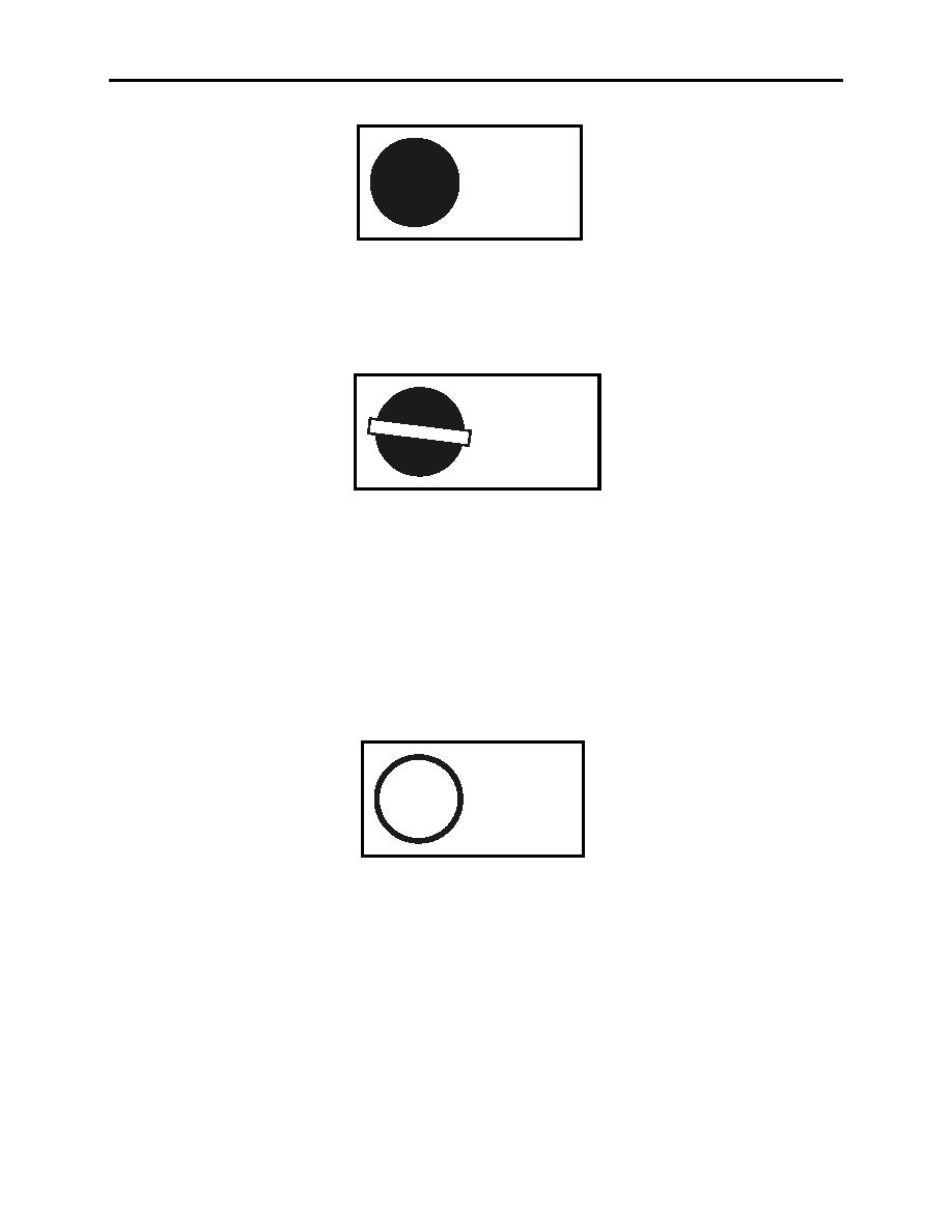
An open circle depicts a major aerodrome on an ONC chart. The diameter of the circle
represents 6000 feet (1:500,000 scale). A runway pattern may or may not be shown. If no
pattern is included, the length of the longest runway in hundreds of feet may be included.
SHORT/63
187
Figure 1-15 Aerodrome 3
In Figure 1-15, the airport name is Short, length of longest runway is 6300 feet, and field
elevation is 187 feet, (MSL). The actual location of the airport is at the center of the circle.
1-20
CHART LEGEND REVIEW
|
|
Privacy Statement - Press Release - Copyright Information. - Contact Us |