 |
|||
|
|
|||
|
|
|||
| ||||||||||
|
|  CHAPTER TWO
METEOROLOGY FLIGHT PLANNING
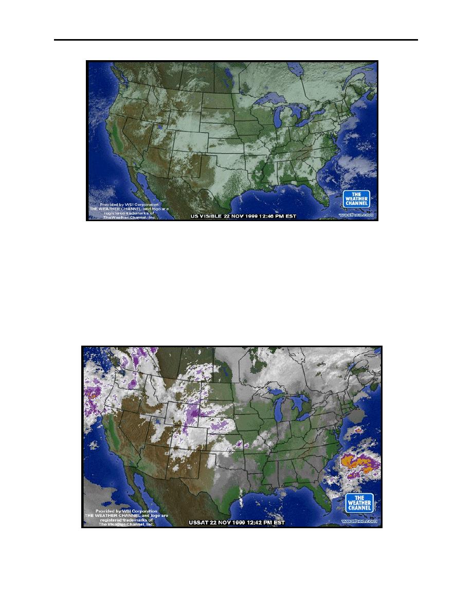
Figure 2-14 Visible Satellite Imagery
Infrared Imagery
The second type of imagery is the infrared (IR) satellite (Figure 2-14). With an IR picture, we
are looking at heat radiation being emitted by the clouds and earth. The images show
temperature differences between cloud tops and the ground, as well as temperature gradations of
cloud tops over the surface of the Earth. Ordinarily, cold temperatures are displayed as light gray
or white. High clouds appear the whitest, middle clouds appear light gray, and low clouds appear
dark gray.
Figure 2-15 Infrared Satellite Imagery
2-16 DATA DISPLAYED ON WEATHER IMAGERY PRODUCTS
|
|
Privacy Statement - Press Release - Copyright Information. - Contact Us |
