 |
|||
|
|
|||
|
Page Title:
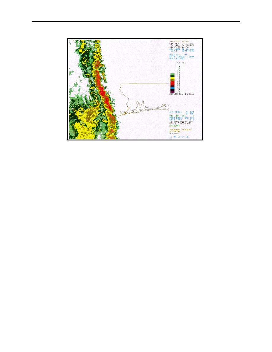
Figure 4-9. NEXRAD Doppler Radar Composite |
|
||
| ||||||||||
|
|  AVIATION WEATHER
CHAPTER FOUR
Figure 4-9 NEXRAD Doppler Radar Composite
Detection and warnings are more accurate with the modern NEXRAD Doppler radar systems
(Figure 4-9). This is particularly true for microbursts and wind shear alerts.
A direct relationship exists among the strength of the radar echoes, the presence of aircraft icing,
and the intensity of turbulence. Stronger radar echoes are associated with more severe
thunderstorms.
The following weather radar information is of particular interest to pilots:
1.
A thunderstorm with radar echo tops indicated above 35,000 feet often contains extreme
turbulence and hail.
2.
Hazardous weather associated with scattered echoes can usually be circumnavigated.
However, if the lines or areas are reported as broken or solid and are of moderate to strong
intensity, hazardous weather can be avoided only if the aircraft is radar equipped.
3.
Severe clear air turbulence and hail may be experienced between thunderstorms if the
separation between echoes is less than 30 miles.
Ground-based weather radar is most valuable to a pilot when there are numerous thunderstorms
obscured by multiple cloud layers. However, echoes can change shape, character, and intensity
in a matter of minutes when updrafts reach velocities of over 6000 feet per minute. Therefore,
radar information received before takeoff may be worthless by the time thunderstorms are
encountered.
Thunderstorms
4-11
|
|
Privacy Statement - Press Release - Copyright Information. - Contact Us |
