 |
|||
|
|
|||
|
|
|||
| ||||||||||
|
|  CHAPTER TWO
AVIATION WEATHER
Middle Clouds
In this category, cloud bases form between 6500 and 20,000 feet AGL. The names of the middle
clouds will contain the prefix alto- (Figure 2-15). They are composed of ice crystals, water
droplets, or a mixture of the two.
A special cloud, altocumulus, produces continuous rain, snow, or ice pellets. The cloud base will
extend down to about 1000 feet AGL and fog is often present. Expect poor visibility and low
ceilings with very slow clearing.
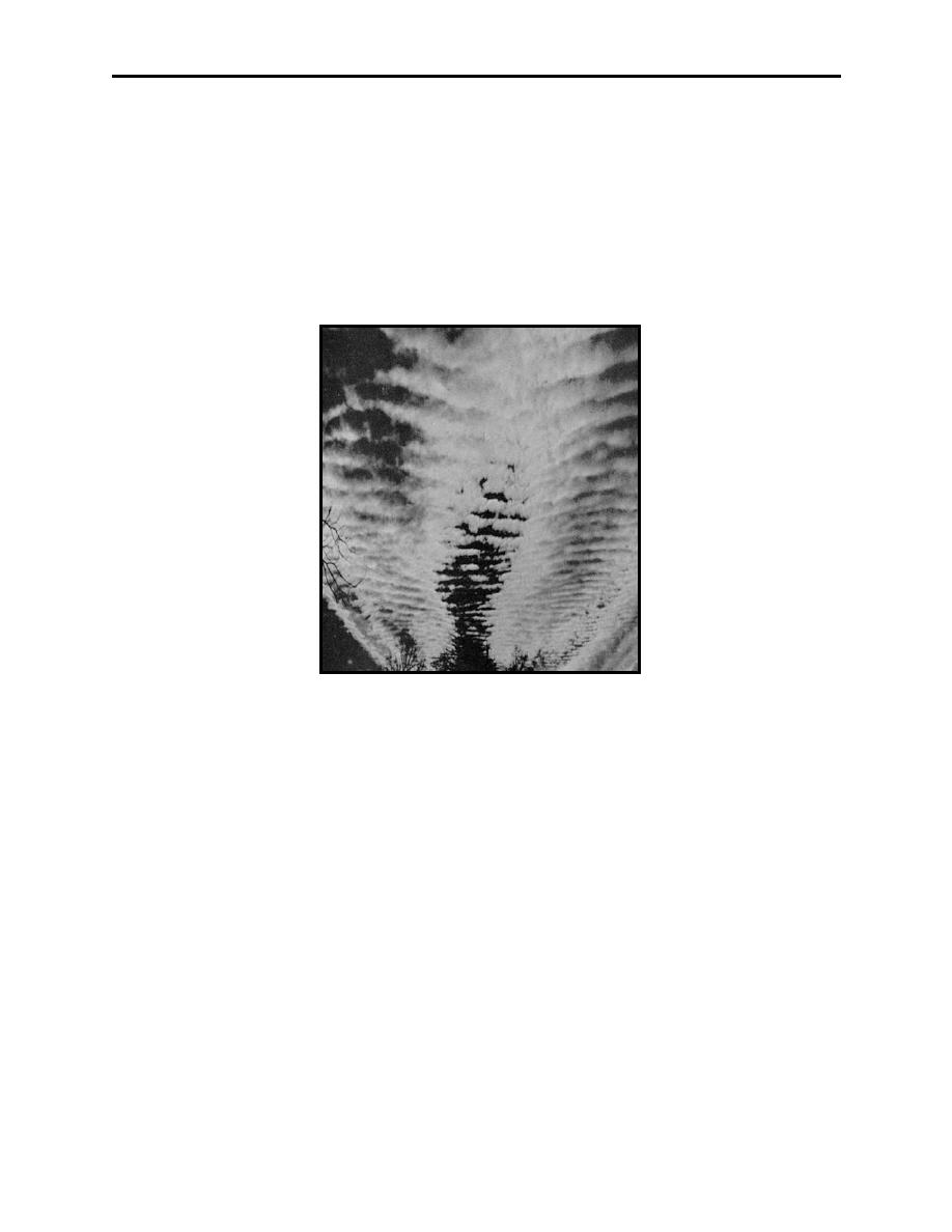
Figure 2-15 Altocumulus Clouds
Visibility in middle clouds varies depending on cloud density from 1/2 mile to a few feet.
Turbulence may be encountered in middle clouds. Frequently these clouds are dark and
turbulent enough to make formation flying difficult. Icing is common due to the presence of
super-cooled water droplets. Rain, rain and snow mixed, or snow can be encountered in thick
middle clouds.
Virga is rain or snow that evaporates before reaching the ground and may be encountered below
these clouds.
High Clouds
In this category, cloud bases average 20,000 to 40,000 feet AGL. The names of the high clouds
will contain the prefix cirro- or the word cirrus (Figure 2-16).
High clouds have little effect on flying except for moderate turbulence and limited visibility
associated with dense jet stream cirrus. Since high clouds are composed mostly of ice crystals,
2-18 Atmospheric Mechanics of Winds, Clouds and Moisture, and Atmospheric Stability
|
|
Privacy Statement - Press Release - Copyright Information. - Contact Us |
