 |
|||
|
|
|||
|
|
|||
| ||||||||||
|
|  PLOTTING COORDINATES
Any given set of coordinates can be plotted using the same principles.
1.
Position the plotter horizontally with the grommet and the 90 mark of the
outer scale along the same meridian. Move the plotter vertically until the
straightedge rests along the desired parallel (Latitude coordinate). Draw a line
along the straightedge.
2.
Rotate the plotter 90, aligning the straightedge vertically, and place the grommet
and the 90 mark along the same parallel. Move it horizontally until the desired
Longitude coordinate is under the straightedge. Again, draw a line along the
straightedge.
3.
The intersection of these two lines is the location of the coordinates.
MEASURING DIRECTION
1.
Locate the two points of interest.
2.
Connect the two points with a straight line using the straightedge of the plotter. Draw
a single arrow depicting the direction of travel.
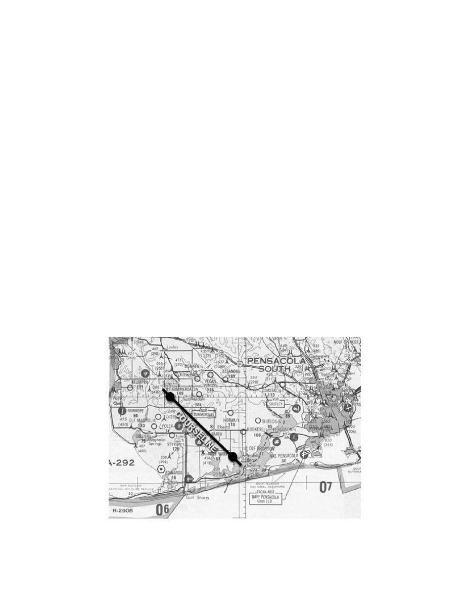
Next, always estimate the approximate direction of travel to avoid choosing a
reciprocal course direction (180 error). In Fig 4.2-17, the course is generally
heading southeast; therefore, the True Course should be between 090 and 180.
Figure 4.2-17 Measuring Direction
4.6-35
|
|
Privacy Statement - Press Release - Copyright Information. - Contact Us |