 |
|||
|
|
|||
|
|
|||
| ||||||||||
|
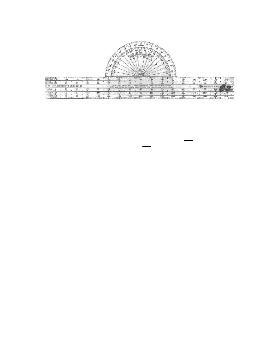
|  Figure 4.2-14 Plotter
LATITUDE/LONGITUDE COORDINATES
If you do not know the Latitude/Longitude coordinates, you need to pull them. If you know
the Latitude/Longitude coordinates, then you will plot them.
PULLING COORDINATES:
1.
Find the point to be measured on the chart.
2.
Position the plotter so that the desired point is slightly below the straightedge.
Carefully align the grommet and 90 mark on the outer scale so that they lie along
the same meridian (any meridian). Slide the plotter down until the straightedge
touches the point of interest. Check to make sure that the grommet and the 90
mark are still aligned with the meridian and, if necessary, adjust the plotter so they
do (Figure 4.2-15).
3.
Mark the point on the meridian where the straightedge of the plotter crosses the
meridian. Remove the plotter. Locate the nearest whole degree of Latitude and
count up the meridian. There are speed marks on the meridian to avoid the need to
count each tick mark. Starting at a printed parallel, every 5 minutes, is a larger mark
that is still on the left side of the meridian. At 10 minutes, the mark is even larger
and extends on either side of the meridian. Round to the nearest tenth of a minute.
4.6-33
|
|
Privacy Statement - Press Release - Copyright Information. - Contact Us |