 |
|||
|
|
|||
|
|
|||
| ||||||||||
|
|  T-6A NAVIGATION
CHAPTER ONE
CLEARWATER
1439
Figure 1-16 Aerodrome 4
In Figure 1-16, patterns are shown. Since the circle is 6000 feet in diameter, the North-South
runway is approximately 6000 feet long; the East-West runway is approximately 4000 feet long;
and the runway aligned Northwest-Southeast is approximately 10,000 feet long. The only way to
determine the exact length of any runway is by referring to the IFR Supplement, VFR supplement,
or the appropriate approach plate.
A hard-surfaced runway with less than 3000 feet is a minor aerodrome.
An open blue circle representing a 4000 foot diameter depicts minor aerodromes on TPC charts.
The actual airport location is at the center of the circle. This circle will show the aerodrome
name and elevation.
EMPORIA/30/s
700
Figure 1-17 Aerodrome 5
In Figure 1-17, the airport name is Emporia, length of the longest runway is 3000 feet, and the
"s" indicates the runway is soft surface. Field elevation is 700 feet (MSL).
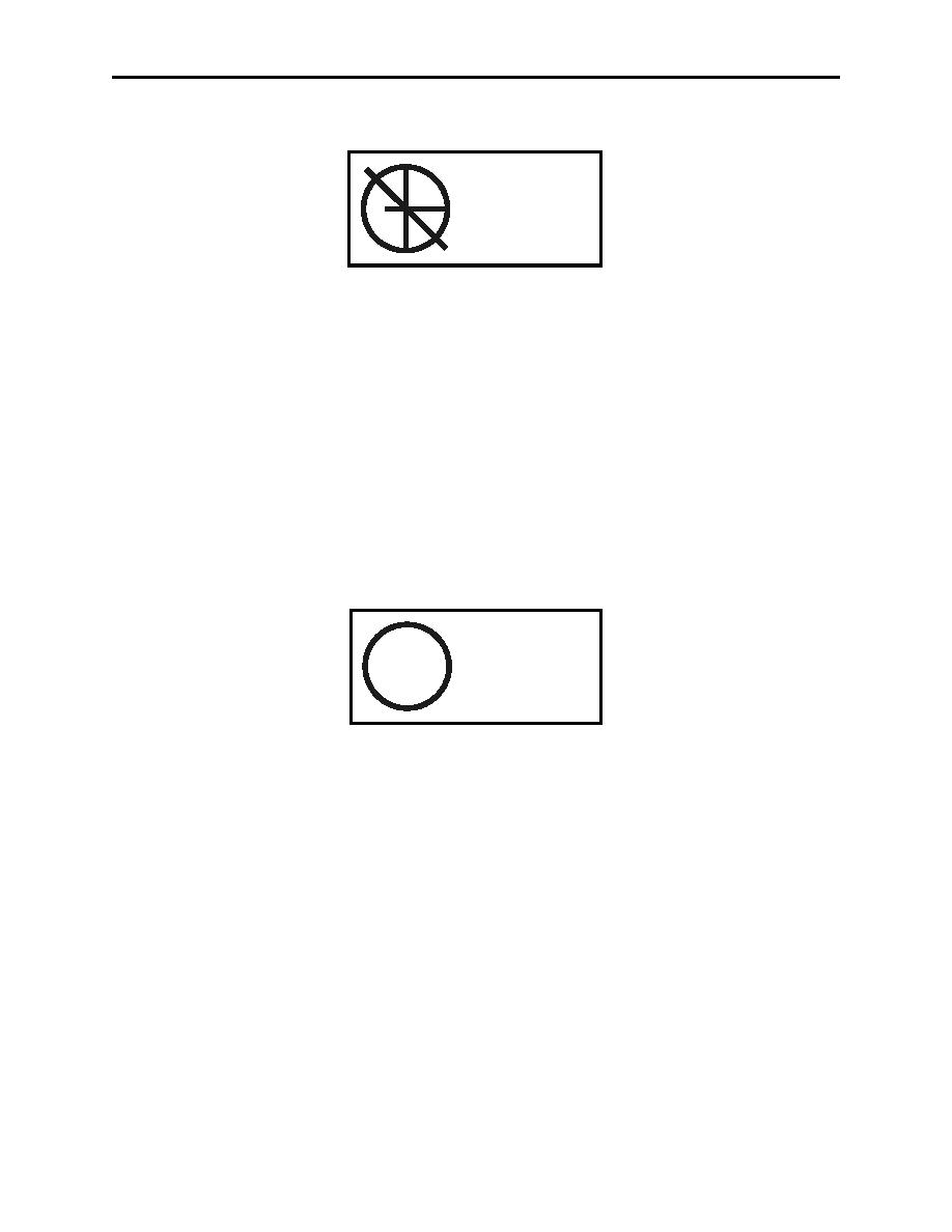
A blue circle representing a 3000 foot diameter at TPC scale, along with name and elevation
depicts a minor aerodrome on an ONC chart. Runway patterns are not shown.
Man-made obstructions extending 200 feet or more above ground level (AGL) are depicted on
TPC and ONC charts.
A radio-transmitting tower extending 236 feet AGL would be depicted in Figure 1-18.
CHART LEGEND REVIEW
1-21
|
|
Privacy Statement - Press Release - Copyright Information. - Contact Us |
