 |
|||
|
|
|||
|
Page Title:
Figure 6-12 Scale in Nautical Miles |
|
||
| ||||||||||
|
|  FLIGHT TRAINING PUBLICATION (FLIP) STUDENT GUIDE
CHAPTER SIX
Using the Chart
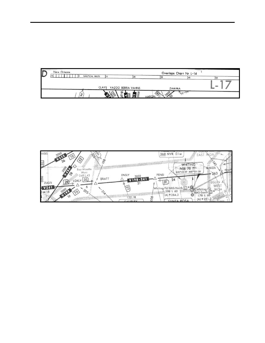
For orientation purposes, each panel of the Low Altitude Chart is identified on the top and
bottom by a letter and the name of a primary city on that panel. Other information includes a
scale in nautical miles and the number of the chart that the panel overlaps (Figure 6-12).
Figure 6-12 Scale in Nautical Miles
The primary feature shown on the Low Altitude Charts is the VOR Airway System, which
extends from 1200 feet AGL up to, but not including 18,000 feet MSL. Commonly known as
"Victor" airways, they are of a defined width based upon the distance from the NAVAID.
Frequently the paths of two or more airways coincide, in which case, all airways designators are
shown (Figure 6-13).
Figure 6-13 Airway Designators
Compass roses are used to define magnetic radials from VORs and TACANs. Each compass
rose is aligned to magnetic north. There is no significance attached to the different sizes of
compass roses on the Low Altitude Charts. A large size is normally used; however, if several
NAVAIDs are in close proximity, smaller ones are used to prevent overlap (Figure 6-14).
ENROUTE LOW ALTITUDE AND AREA CHARTS
6-9
|
|
Privacy Statement - Press Release - Copyright Information. - Contact Us |
