 |
|||
|
|
|||
|
Page Title:
Figure 2-1 Flight Hazard Listed in AP/1 |
|
||
| ||||||||||
|
|  FLIGHT TRAINING PUBLICATION (FLIP) STUDENT GUIDE
CHAPTER TWO
6. A 4096 code transponder with Mode C automatic altitude reporting equipment, except for
helicopters operating at or below 1000 feet AGL under a Letter of Agreement. (ATC may
authorize a deviation from the altitude reporting equipment requirement immediately upon
request. However, a request for a deviation from the 4096 transponder equipment requirement
must be submitted to the controlling ATC facility at least one hour before the proposed
operation).
Airspeed
No person may operate an aircraft:
1. Within a Class B airspace at an airspeed greater than 250 KIAS unless a greater safe
airspeed is required for the particular operation.
2. In the airspace beneath the lateral limits of a Class B at an airspeed greater than 200 KIAS
unless a greater minimum safe airspeed is required for the particular operation.
Class C airspace consists of two circles, both centered on the primary airport. The inner circle has
a radius of five miles and extends from the surface of the primary airport up to 4000 feet AGL.
The outer circle has a radius of 10 miles and extends from 1200 to 4000 feet AGL. All aircraft
are subject to the operating rules and equipment requirements specified in the FAR-91. The
primary equipment requirements are an operable two-way radio and a 4096 code transponder with
Mode C (altitude encoding). Within the Class C airspaces, ATC will provide services specified in
AP/1 Chapter 3. Class C airspaces are depicted on Enroute Low Altitude charts and VFR
Sectional charts. Chapter 3 contains a complete list of Class C airspaces.
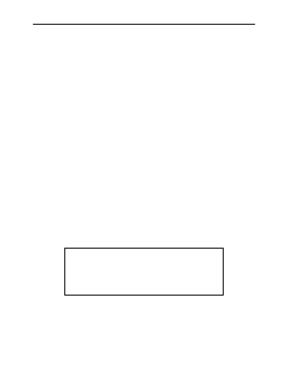
Flight Hazards
A list of states and the most notable flight hazards within these states is contained in this section
of AP/1. Prior to filing a flight plan, AP/1 should be consulted to preclude encountering a
dangerous situation within any of these areas. An example of a flight hazard listed in AP/1 is
shown in Figure 2-1.
SOUTH CAROLINA
JAMESTOWN VINICITY. The Martin Marietta plant and open
pit mine should be avoided. Blasting operations pose a potential
hazard to aircraft at low altitudes. Approximate coordinates are
N3318' W7942'. Charges as large as 10,000 lbs are set off 2 to 3
times a week and send debris several hundred feet into the air.
Figure 2-1 Flight Hazard Listed in AP/1
AREA PLANNING 1, 1A, AND 1B 2-3
|
|
Privacy Statement - Press Release - Copyright Information. - Contact Us |
