 |
|||
|
|
|||
| ||||||||||
|
|  LOW-LEVEL AND TACTICAL FORMATION
CHAPTER ONE
the calculated time. Nothing else should be done during or immediately after the turn;
concentrate on clearing and completing the turn.
Pick a point or feature in the direction of your next leg, turn to that feature, and then fine-tune
your new heading. High speed, high bank-angle turns are not the time to be checking fuel or
trying to read your chart. Fold the chart so the track is easily followed. Ensure usable features
off track are not hidden and that chart creases occur in midtrack after a checkpoint and not at a
high workload time. Try to arrange folds so you simply turn the chart over or refold only once.
If there is not a good reference for a turnpoint, you must fall back to pure DR navigation and turn
on time. Conditions sometimes exist that make chart reading extremely difficult (for example,
flight over an extensive area of featureless land or water). Continue to adjust your IAS until
aircraft position and lapsed time coincide. Remain on track by making frequent crosschecks at
predetermined points. When landmarks are identified that show you are off track, immediately
correct back to your desired ground track to avoid having to make a large heading change later.
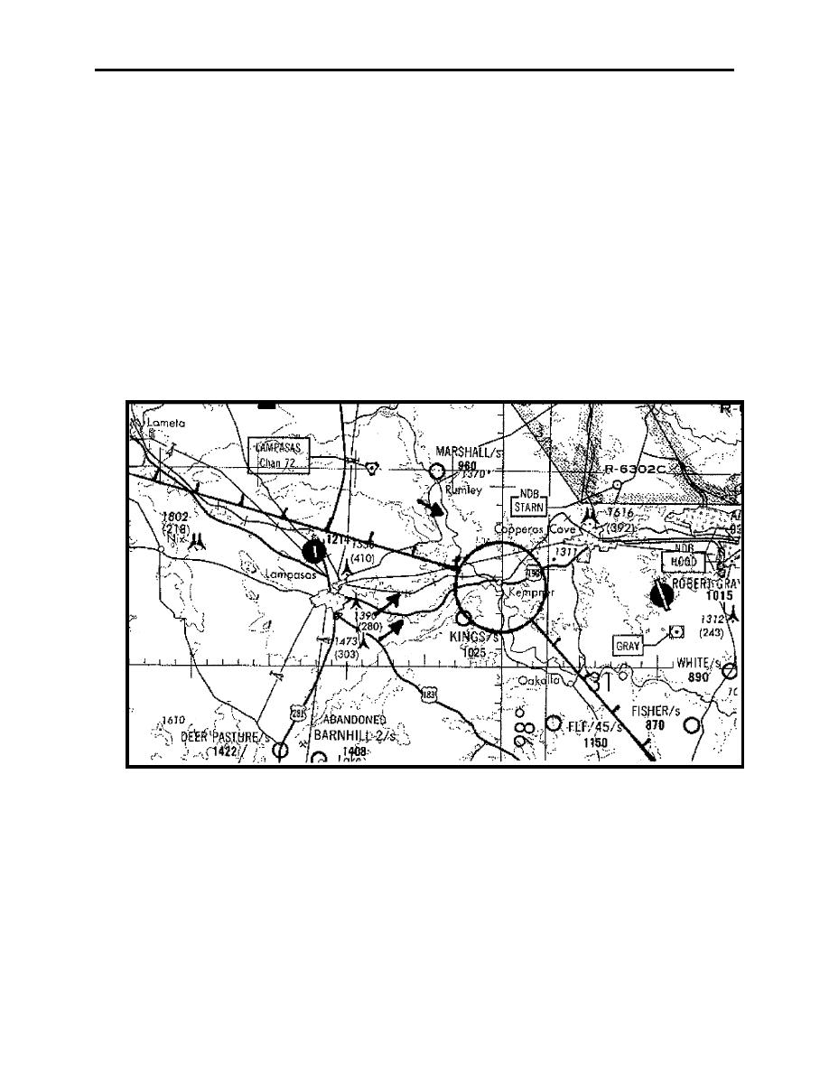
Figure 1-6 Funneling Features
2.
Orientation. Because an aircraft travels in three dimensions, it does not take long to lose
your positional awareness. Although it is easier to become disoriented when flying over
featureless terrain, it is also possible in a heavily populated area where there are a number of
roads and small towns that look alike. Therefore, you must study your chart to get a good idea of
what you will see from the air.
Knowing the approximate time of day and location of the sun can help you keep track of the
direction of flight and the turns you have made. Your instructor knows the terrain you will be
LOW-LEVEL NAVIGATION 1-19
|
|
Privacy Statement - Press Release - Copyright Information. - Contact Us |
