 |
|||
|
|
|||
|
|
|||
| ||||||||||
|
|  T-45C TS INav-01
Review of FLIP and FAA Publications
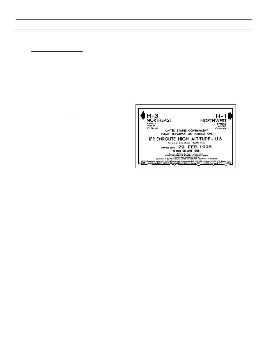
FLIP ENROUTE CHARTS
The FLIP enroute charts consist of:
1. Twenty-eight Low Altitude Charts, printed on 14 sheets, for use in the low altitude airways
system - 1,200 ft AGL up to (but not including) 18,000 ft MSL.
2. Six High Altitude Charts printed on three sheets (one an enlarged overlay of the east coast) for use in
the jet route system - 18,000 ft MSL through flight level 450.
The charts are issued every 56 days (eight weeks)
effective date (always on a Thursday). These
charts are designed for preflight and in-flight
reference and a current set of applicable charts
should be carried aboard your aircraft for every IFR
flight.
Each en route chart contains a reference map for
determining the correct area chart to use. Pilots
using the high altitude airway system are encouraged
to carry the low altitude chart, or arrival chart for
their destination area in case the controller gives a
low altitude holding fix. Each sheet contains a
complete legend subdivided into categories of:
1. Airports
2. NAVAIDs and Communication Boxes
3. Air Traffic Services and Airspace Information
4. Special Use Airspace
Page 1-24
(2-02) Original
|
|
Privacy Statement - Press Release - Copyright Information. - Contact Us |
